Call For Data
GeoCENS is seeking new sensor data. Click here for more info.
How GeoCENS Works
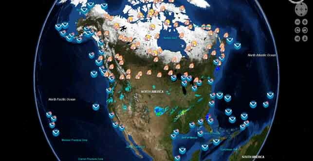
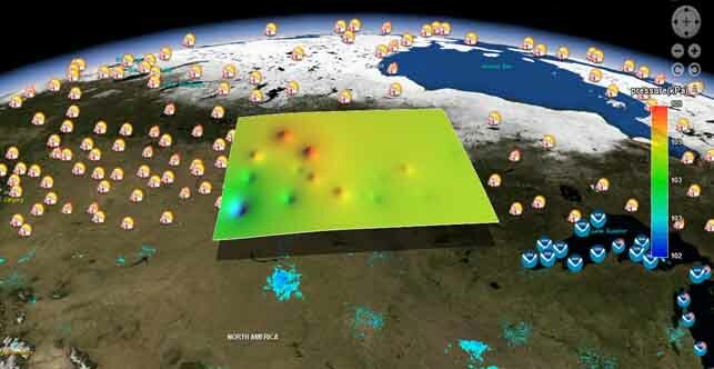
GeoCENS makes use of the CANARIE network and various international research networks to allow users to remotely and transparently access, interchange, understand and use heterogeneous sensor networks and their data. This is done independently from underlying network protocols, hardware, data models and formats. GeoCENS follows Open Geospatial Consortium standard information models to achieve sensor/data interoperability.
GeoCENS is funded by CANARIE's (Network-Enabled Platform Program) and Cybera Inc.
 |
 |

